






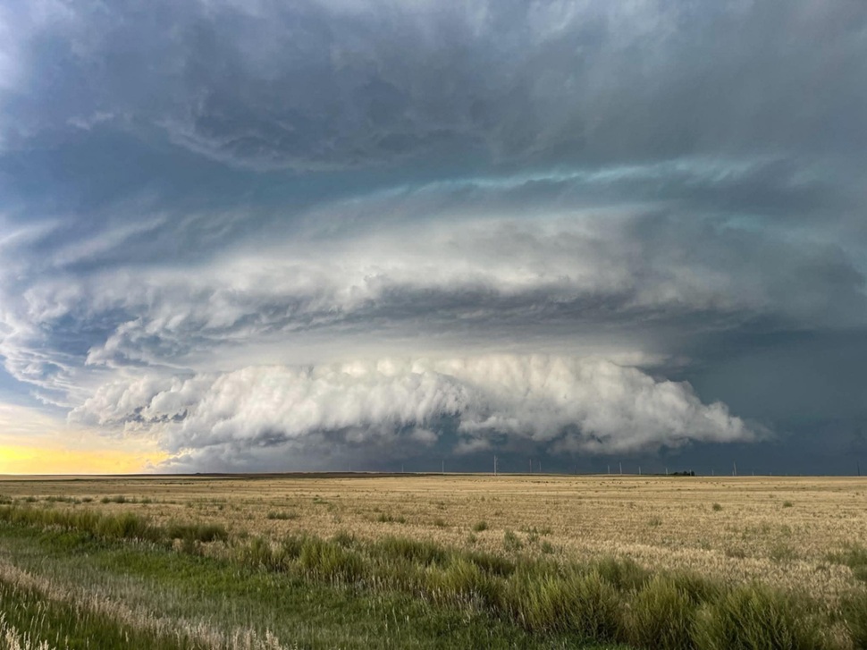
Another round of severe weather could impact southwestern Saskatchewan Wednesday night, just three days after a major storm brought hail, heavy rain and damaging winds to the region.
Environment and Climate Change Canada says the area could see hail ranging from four to six centimetres in size, wind gusts between 90 and 100 km/h, and up to 50 millimetres of rain.
Chloe Katsademas, a meteorologist with Environment and Climate Change Canada, said a low-pressure system is expected to develop along the Alberta-Saskatchewan border.
“With the system that’s just been through, there is a lot of available moisture in the region, as well as a lot of energy with this system,” she said. “The trough moving through it is expected to kick off some showery and thunderstorm activity throughout the area. The exact locations are still unclear.”
Conditions could fuel another severe storm
Related Stories:
- Severe damage reported following weekend storm
- Supercell slams Swift Current with hail, 113 km/h winds and flooding
- Northern Tornadoes Project confirms Elrose-area tornado
- No 30 C days, plenty of rain: June felt like spring in Swift Current
Swift Current received 26.4 millimetres of rain, wind gusts reaching 113 km/h and toonie-to-dime-sized hail Sunday night, causing flooding and damage to crops, homes, yards and vehicles.
“I can’t say that you guys are going to get the exact same thing again going through, but I do think that is a convective area and convective system,” she said.
Tornadoes remain possible with system
Southwestern Saskatchewan has recorded two tornadoes in the last month and a half, with the Northern Tornadoes Project confirming an EF0 tornado southwest of Elrose on June 29.
“There’s some shear associated with this system, tornadoes are possible within that border region in southern Alberta to southern Saskatchewan,” she said.
She encouraged residents to take severe weather warnings seriously and prepare if storms become impactful.
“Reminder to everybody, take weather seriously. If a storm looks impactful, take the necessary precautions to keep yourself safe.”
The system is expected to move into the region early Wednesday evening and could linger into Thursday morning.













 Thu, Jul 9, 10:00 AM


 Technology
 Featured